

A Historical In-depth Discovery of Trade in West Africa Since 1896
Here’s what you need to know:
- Alcoa’s own SEC filings describe CBG’s Guinean bauxite concession as covering “a 10,000 square-mile concession” as late as 2012-2015 — a figure equivalent to roughly 25,900 square kilometers, an area larger than the entire country of Wales.
- By 2016, Alcoa’s SEC disclosures had shifted to describing “an approximately 2,939 square-kilometer concession” — and more recent independent reporting cites a figure of just 597 square kilometers, a fraction of even that 2016 disclosure.
- The scandal isn’t necessarily a straightforward reduction in Guinea’s mineral territory being controlled by a foreign company — it’s the genuine confusion this pattern of shifting disclosure creates, and what that confusion reveals about how selectively a company can describe its own footprint depending on which specific concession, and which specific year’s mining law, is actually being referenced.
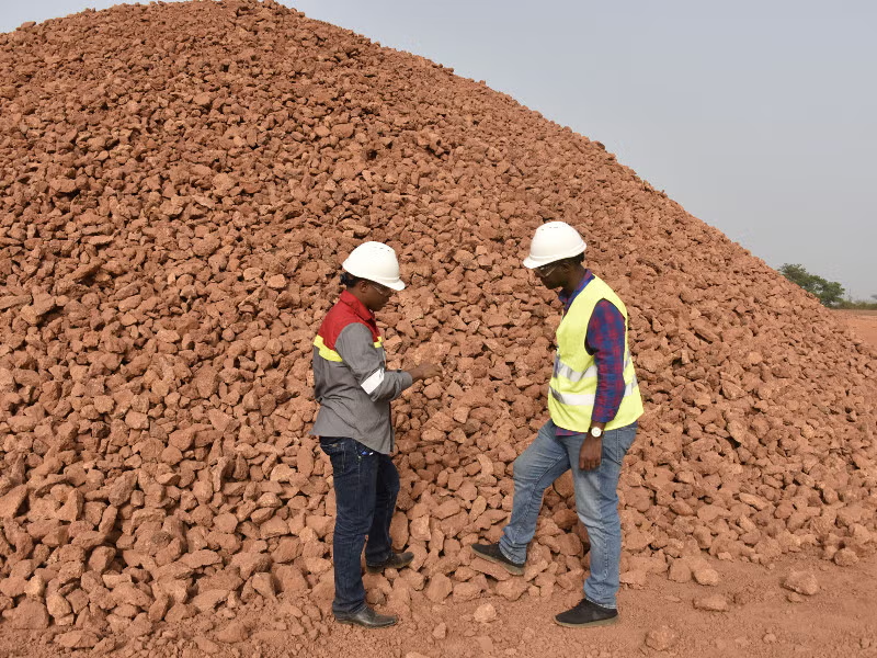
The Numbers: What Each Disclosure Actually Says
It’s worth laying these figures out precisely and in sequence, since the scale of apparent change is genuinely dramatic on its face. Alcoa’s own 10-K annual reports filed with the US Securities and Exchange Commission described CBG’s concession, consistently across filings from 2012 through at least 2015, as covering “a 10,000 square-mile concession in northwestern Guinea.” Converted to metric units, this represents approximately 25,900 square kilometers — an area larger than Rwanda, and comparable in scale to the entire country of Wales.
By Alcoa’s 2016 SEC filing, this same description had changed to “an approximately 2939 square-kilometer concession” — a reduction, on paper, of roughly 89% from the earlier stated figure. More recent independent reporting, including from the corporate accountability monitoring organization BankTrack, describes CBG’s current concession as covering just 597 square kilometers — a further reduction of roughly 80% from the 2016 figure, and a total reduction of over 97% from the original figure cited as recently as 2015.
The First Explanation: Two Separate Concessions, Selectively Combined or Omitted
Here is a genuine, well-documented factor that resolves at least part of this apparent shrinkage, and it’s worth explaining precisely. IFC project documentation confirms that CBG actually holds two entirely distinct mining concessions, not one single area. The first is the “Halco (Sangarédi) or South Cogon” concession, covering 579 square kilometers — the area that has been “continuously mined by CBG since 1973,” straddling the Boké, Télimélé, and Gaoual prefectures, granted until 2038. The second is a separate concession covering 2,360 square kilometers, issued in 2005 and valid until 2040, covering territory north of the Cogon River — land IFC documentation states explicitly “has not yet been exploited and is not part of the current mine plan.”
Adding these two figures together produces a striking result: 579 plus 2,360 equals 2,939 square kilometers — matching, almost exactly, Alcoa’s own 2016 SEC filing figure. This strongly suggests that the 2016 disclosure represented CBG’s total combined concession holdings across both the actively mined southern area and the separately held, unexploited northern reserve area, while more recent reporting citing “597 square kilometers” appears to describe only the actively mined South Cogon concession specifically — omitting the separate, considerably larger northern concession entirely from that particular figure.
This distinction matters enormously for how the apparent “shrinkage” should actually be understood. If CBG still legally holds rights to both concessions — the 579 (or 597) square kilometer active mining area and the separate 2,360 square kilometer reserve area — then the company’s total legal footprint may not have shrunk nearly as dramatically as comparing the 2016 and more recent figures in isolation would suggest. What appears to have shrunk is not necessarily the underlying legal rights themselves, but which specific portion of those rights any given disclosure chooses to describe.
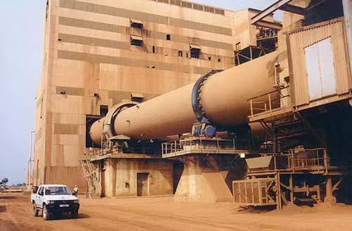
The Guinean Government: Owns 49% of CBG. Halco Mining Inc.: Owns 51% of CBG. Halco is a joint group made up of Alcoa (45%), Rio Tinto (45%), and Dadco Investments (10%).
The Second Explanation: Guinea’s Own Legal Reforms
There remains a substantial, unexplained gap between the earliest cited figure — 10,000 square miles, or roughly 25,900 square kilometers — and even the combined 2,939 square kilometer total from the two concessions described above. This gap is worth examining against Guinea’s own evolving mining law, since the country underwent genuine, substantial legal reform during exactly this period.
Guinea’s 2011 Mining Code, enacted under Law 2011/006/CNT, was explicitly described by legal analysts as influenced by “resource nationalism” — a broader push to reassert state control and reduce the scale of concessions historically granted to foreign mining operators. The code was subsequently amended in 2013, specifically introducing “decreased maximum area limitations for exploration permits” as one of its stated reforms, alongside a requirement that new rules apply to “existing mining conventions,” not simply new agreements going forward. Separate Library of Congress analysis confirms the 2013 amendments specifically addressed maximum exploration license areas, though the cited figures there concern smaller exploration permits (350 to 500 square kilometers for bauxite and iron ore) rather than an established exploitation concession the scale of CBG’s.
It’s worth being honest about the limits of what publicly available sourcing actually confirms here. While Guinea’s 2011 and 2013 legal reforms provide a plausible mechanism by which an older, much larger concession granted under Guinea’s original 1963 agreement could have been legally reassessed or reduced over subsequent decades, this research did not surface a single, specific, dated document directly confirming that CBG’s original concession was formally reduced from 25,900 square kilometers down toward its current combined footprint through a specific legal action. What can be stated with confidence is that Guinea’s mining law underwent genuine, substantial reform explicitly targeting concession sizes during roughly the same period these SEC filings shifted their stated figures — a plausible, documented mechanism for at least part of this change, even without a single confirmed transaction connecting the two directly.
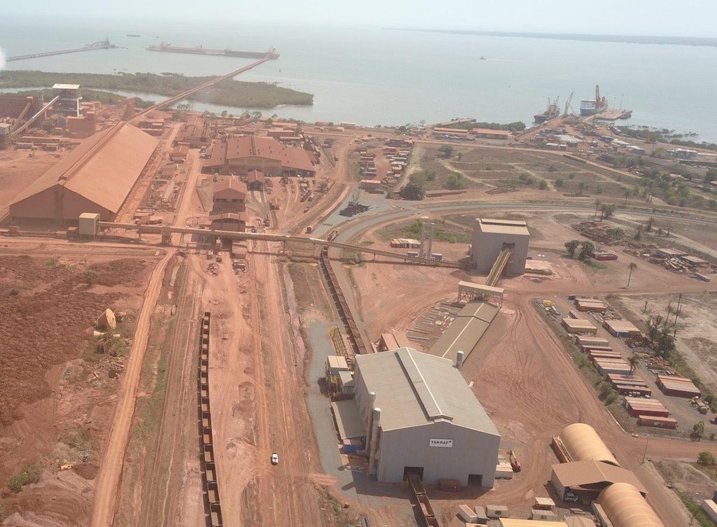
Why This Discrepancy Matters, Regardless of the Precise Cause
It’s worth stating the broader point this pattern illustrates, independent of exactly which explanation accounts for which portion of the apparent shrinkage. A company’s own regulatory disclosures about the physical scale of land it controls in a foreign country are not always presented consistently over time, and readers or researchers who compare figures across different years or different reporting sources without understanding the underlying scope differences can be led to dramatically different — and potentially misleading — conclusions about how much territory a foreign mining consortium actually controls in a country like Guinea.
This connects directly to a pattern already documented elsewhere in this blog’s coverage of West African resource extraction — official figures that shift, expand, or contract across different disclosures, without always providing readers the underlying context needed to understand why. Whether CBG’s actual legal footprint in Guinea has genuinely shrunk by 97%, or whether it has remained relatively stable while different disclosures simply describe different subsets of the same total holdings, is a question that deserves considerably more transparency than the public record currently provides.
Close
The shift in CBG’s stated concession size — from 10,000 square miles in Alcoa’s own 2012-2015 SEC filings, to roughly 2,939 square kilometers in 2016, to just 597 square kilometers in more recent reporting — is real, documented, and dramatic on its face. Part of this apparent shrinkage is explainable through CBG’s genuinely separate, dual-concession structure, where different disclosures appear to describe either the combined total or only the actively mined portion of the company’s total legal holdings. The remaining, larger gap between the earliest and most recent figures likely connects to Guinea’s own substantial 2011 and 2013 mining law reforms, explicitly designed to reduce the scale of concessions held by foreign operators — though the public record doesn’t offer a single, confirmed document tracing this specific reduction step by step. What the discrepancy reliably demonstrates, regardless of its precise cause, is how much interpretive work is required to actually understand the real scale of a foreign consortium’s footprint on Guinean soil from corporate disclosures alone.
Sources and further reading.